
How to Use GeoExpress for High-Performance Geospatial Image Compression
- Anvita Shrivastava

- Oct 31, 2025
- 4 min read
Updated: Apr 23
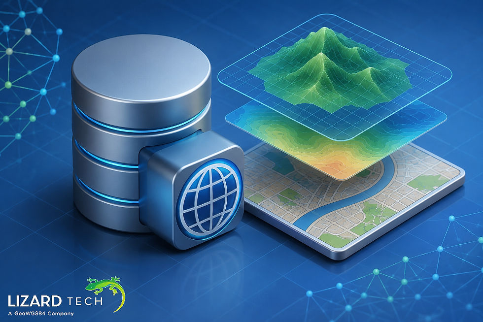
Handling large-scale geospatial raster imagery can be a daunting task, particularly when working with data as a byproduct of satellite, aerial, or drone imagery. Large raster files are often slow to process or use too much space, making it difficult to share. GeoExpress is a software product from LizardTech, offering the industry standard for high-performance geospatial image compression. There are other image compression tools available, but none can touch GeoExpress for its speed, quality and economy.
In this guide, we’ll explore how to use GeoExpress for optimal image compression, discuss its core features, and share best practices to help you achieve the perfect balance between performance and quality.

What is GeoExpress?
GeoExpress is a professional raster image compression, reprojection, and management application designed to handle the challenges of geospatial imagery. It supports the most common geospatial formats for large raster datasets like MrSID and JPEG 2000 (JP2) and is optimized for the best delivery of high-quality imagery at dramatically lower file size.
With GeoExpress, you can:
Compress gigabyte+ rasters to more manageable file sizes.
Maintain visually lossless quality.
Mosaic and reprojection images on the fly
Create image tiles for web mapping services (WMS/WMTS)
Efficient batch processing for imagery
Reasons to choose GeoExpress for Geospatial Image Compression
Outstanding Compression Ratios
GeoExpress can reduce file sizes by up to 95% without a significant reduction in aesthetics. Enhanced compression ratios can speed your data transfer rates, reduce storage costs, and increase efficiency when generating maps.
Georeferencing is Preserved
Unlike standard compression programs, GeoExpress takes into consideration the coordinate reference system (CRS), meaning your imagery will not lose spatial accuracy and can be used immediately with a GIS workflow.
Compressions are Optimized for MrSID and JPEG 2000
MrSID and JP2 are both progressive decoding formats, meaning they can be quickly zoomed in on or panned over without complete decompression of the image file. This makes these formats optimal for web mapping or visualising a large dataset.
Batch and Command-line Processing
GeoExpress users can automate the compression of several image files at once via batch processing or via command line interface (CLI) if integrating GeoExpress into an enterprise workflow.
Getting Started with GeoExpress
Step 1: Install and Configure GeoExpress
Download the software from Extensis’ official website. After the installation is completed, open the program and confirm that your license is active. The user interface is designed to be simple to use with panels dedicated to input imagery, output settings, and tasks to be processed.
Step 2: Bring in Geospatial Imagery
Select "Add Files" or drag files into the workspace with your raster datasets. GeoExpress can take in multiple raster types, including:
GeoTIFF (.tif, .tiff)
ERDAS IMG (.img)
JPEG 2000 (.jp2)
MrSID (.sid)
Step 3: Define the Compression Format
Identify the desired output format.
MrSID Generation 4 (MG4) – Good choice for multispectral and hyperspectral imagery.
JPEG2000 – Useful for open standard applications and Web Services.
You can calibrate compression ratios at any time (20:1, 50:1, etc.), depending on the target use.
Step 4: Determine Compression Parameters
Below Output Options, configure:
Compression ratio – Determines file size and quality
Resampling – If needed, change resolution
Color balancing – To keep tone consistent across mosaicked images
Metadata – For Geo-Referencing and Projection Information to remain the same.
Step 5: Preview and Adjust
Using the Preview window, compare the quality of the original versus the compressed image resulting from the compression level of your choosing. Adjust the compression level to get the best balance of clarity and file size.
Step 6: Export and Save
Select your output directory and select “process” to start the compression process. GeoExpress will create your new compressed file and associated metadata (if dependent).
Expert Advice for Advanced Users
Batch Processing
For organizations that work with large datasets, utilise GeoExpress’s batch wizard or create a simple CLI script for automating repetitive compression.
Mosaic and Reproject
Consider combining multiple raster tiles into a single mosaic or reprojecting images into a common coordinate system before compression.
Use MrSID for Streaming
MrSID files can be served using Express Server for on-demand image streaming, allowing users to visualise data quickly in GIS and web mapping applications like ArcGIS, QGIS and OpenLayers. Reach out to GeoWGS84.ai for your advanced GIS data hosting and geospatial solutions.
Take Advantage of Multithreading
GeoExpress is designed to perform well on multicore processors, which can significantly speed up the process of encoding large imagery.
Frequent Applications
Satellite Image Compression for Remote Sensing Applications
Aerial Image Compression for national mapping organizations
Web Map Tiling for WMTS services
Enterprise GIS Data Storage Improvements
Disaster Management and Environmental Monitoring workflows
Tip to Achieve Success
Start with visually lossless (20:1 or lower) to check the quality.
Always keep an uncompressed primary copy of your dataset.
Use metadata checking utilities (such as GDAL’s gdalinfo) after compression.
Periodically update GeoExpress for codec improvements and fixes.
GeoExpress continues to be the best solution for geospatial image compression for high performance that allows you to deliver your data more quickly, reduce space on your file systems, and easily integrate compressed imagery into modern workflows. If you follow the above steps, you will be able to compress, manage, and serve greatly sized imagery smoothly—with no loss in quality or accuracy.
It doesn't matter if you are working with satellite imagery, aerial photography, or digital elevation models; we help you work smarter, not harder.
For more information or any questions regarding the LizardTech suite of products, please don't hesitate to contact us at
Email: info@geowgs84.com
USA (HQ): (720) 702–4849
(A GeoWGS84 Corp Company)


Comments