What is a raster image?
- Anvita Shrivastava

- Mar 23
- 4 min read
The effective mapping, analysis, and utilization of spatial data rely on a thorough understanding of the various database formats used in Geographic Information Systems (GIS). Among these formats, raster images are one of the most widely used data types due to their ability to represent continuous geographic phenomena and detailed spatial information.
What is a Raster Image?
In GIS, the raster image consists of a grid of pixels (or cells), which are arranged in a series of rows and columns. Each of these pixels can hold a single numeric value that represents some characteristic (for example, color, elevation, temperature, or land-use cover) about a particular point.
A good way to visualize a raster image is to think of it as being similar to a digital photo or a spreadsheet (Excel):
Cell = 1 data point
Row/Column = 2-dimensional spatial arrangement
Value = the attribute of the physical location the pixel holds
All cells in a raster image are georeferenced (tied to actual Earth coordinates).
Key Characteristics of Raster Data
Physical Grid Format
Raster types of data organize the raster in a grid-based matrix format of squares/cells of the same size. A raster format enables the display of continuous phenomena (e.g., vegetation or elevation).
Spatial Resolution
Spatial resolution is the measure of how large (e.g., in km or m) each pixel is on Earth.
Higher resolution results in smaller pixel sizes and more detailed imagery.
Lower resolution results in larger pixel sizes and less detailed imagery.
Value of a Raster Cell
Each cell (or pixel) has an integer value that can represent:
Elevation for Digital Elevation Models (DEMs)
Reflectance values from satellite imagery
Temperature, precipitation, etc., values.
Raster Image Bands
Raster images can be created; they can have one or multiple bands.
A single band is used to produce the grayscale elevation raster data.
Multi-band is used to produce satellite imagery (e.g., Red/Green/Blue or multispectral).
Types of Raster Data in GIS
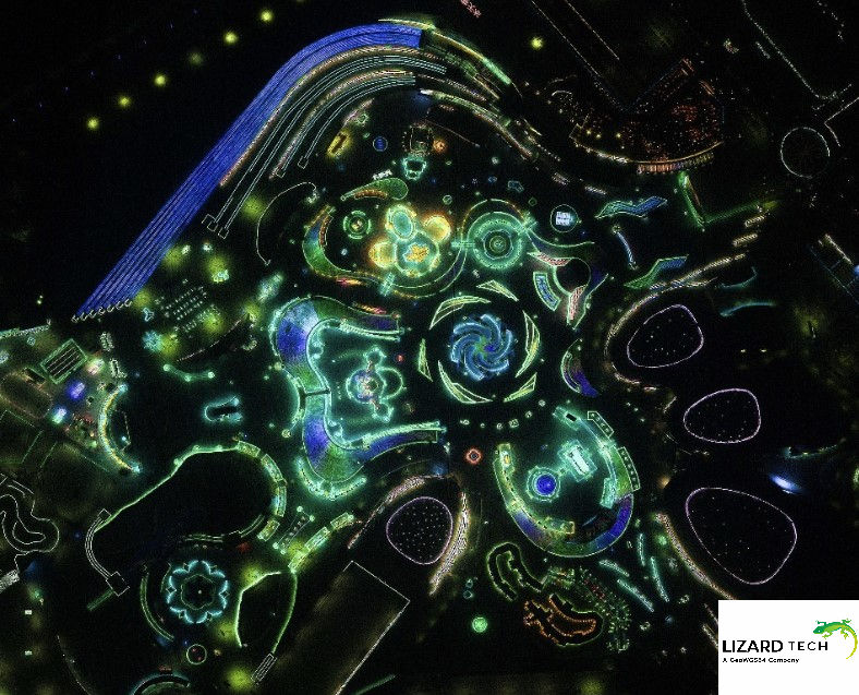
Satellite Imagery
Satellite images are collected by satellites (or space-based observatories) to monitor the Earth's land, agricultural areas, & ecological activities.
Aerial Photography
Aerial photos are high-resolution photographs taken by airplanes or drones.
Digital Elevation Model (DEM)
A DEM represents the surface elevation of the Earth (e.g., terrain) and can be used for slope, aspect, and hydrological analysis.
Thematic Rasters
Thematic rasters contain categorical data about features found on Earth, including land use, type of soil, and type of vegetation.
Advantages of Raster Data
A simple data structure that is relatively easy to process and analyze.
Good for continuous data, such as elevation, temperature, and digital imagery.
Provides an efficient means of performing spatial analysis by allowing for map algebra and the modeling of spatial data.
Can be used with remote sensing data because they can be created directly from satellite and sensor data.
Disadvantages of Raster Data
Typically results in very large files, especially when using high-resolution imagery.
Provides lower precision for identifying boundaries than vector data.
The resolution is fixed, meaning that no matter how much you zoom into the raster image, it will always have the same level of detail as at its highest quality.
Raster data files are often redundant, with many of the neighboring pixels containing the same value.
Raster vs. Vector Data
Feature | Raster Data | Vector Data |
Structure | Grid of pixels | Points, lines, polygons |
Best for | Continuous data | Discrete features |
File Size | Larger | Smaller |
Accuracy | Depends on resolution | High geometric precision |
Examples | Satellite images, DEMs | Roads, boundaries, buildings |
GIS Applications That Use Raster Imagery
Raster data has become essential across every industry and sector, including:
Environmental Monitoring – Detecting deforestation and tracking climate change
Urban Planning – Analyzing land use and infrastructure (buildings/roads)
Agriculture – Evaluating the health of crops (via NDVI)
Disaster Management – Modeling floods and tracking wildfires
Remote Sensing – Observing and analyzing the Earth
Why Raster Data Matters in Modern GIS
Raster data have become a central part of geospatial intelligence as a result of the increased availability of high-resolution satellite imagery and drone mapping capabilities, enabling a variety of applications, such as the following:
Performing advanced spatial modeling
Applying machine learning to raster datasets
Monitoring the environment with real-time data
Raster workflows are used by many organizations to extract meaningful insights from massive datasets quickly and accurately.
By definition, a raster image in GIS is a way of representing geographic information through the grid of individual pixels that collectively represent spatial features and attributes, each of which contains unique and significant information about a place. Familiarity with raster basics is necessary as you will encounter them, regardless of whether you are working with satellite imagery, DEMs, or environmental data, to conduct effective analysis within GIS.
As geospatial technologies continue to advance, raster data is expected to remain a fundamental means of map representation, spatial analysis, and decision support across a wide range of industries. Its versatility and effectiveness in depicting geographic information make it an essential component of modern GIS applications.
For more information or any questions regarding the LizardTech suite of products, please don't hesitate to contact us at:
Email: info@geowgs84.com
USA (HQ): (720) 702–4849
(A GeoWGS84 Corp Company)


Comments