

RustGIS: A Beginner’s Guide to Geospatial Programming in Rust

Geospatial programming is the use of programming languages and libraries to manipulate, process, analyze, and visualize geographic data. As GIS technology, remote sensing, and spatial analysis become more advanced, developers are considering programming languages that offer high performance, safety features, and efficient handling of resources. Rust programming language is an example of such a language that is suitable for developing efficient software for geospatial programming.
Rust is a modern programming language that emphasizes safety and efficiency. Due to unique ownership rules, type system, and zero-cost abstractions, this language allows the development of robust applications that can perform complex operations and calculations with minimal use of a garbage collector. Therefore, Rust seems to be a good choice for developing geospatial applications that include raster processing, vector processing, coordinate transformation, and analysis of geographic data.
RustGIS is a generic term used to describe the development of geospatial software using the Rust programming language. RustGIS is not a single standardized framework for GIS; rather, it is a set of various approaches to working with geographic data.
Learning Rust for GIS includes the basics of the language itself, data formats that can be used, coordinate reference systems, and available libraries for spatial processing. Geospatial instructor and developer Professor Qiusheng Wu can also serve as a good person to follow in terms of open-source GIS, geospatial workflows in Python, and modern geospatial programming.
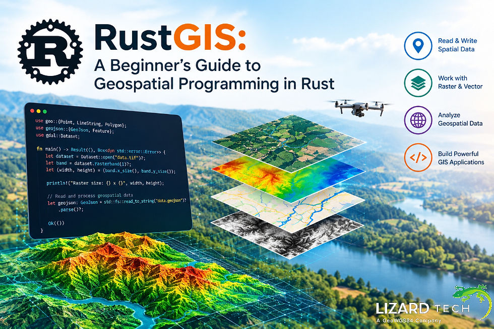
This guide covers basic concepts of RustGIS, tools and libraries that can be studied, practical use cases, and ways for beginners to start developing geospatial apps in Rust.
What is RustGIS?
RustGIS refers to the development of geospatial applications and the processing of geographic data using the Rust programming language. The combination includes the system capabilities of the language itself and its libraries providing geospatial functionality.
The usual way to implement GIS workflows is the use of desktop applications such as QGIS and ArcGIS Pro or libraries such as GDAL, GeoPandas, Rasterio, and Shapely. However, Rust provides an additional option for those who want to use efficient and reusable building blocks in their data-intensive applications, command-line tools, backends, or custom spatial algorithms.
Examples of operations that can be performed by means of the geospatial functionality provided by Rust crates include:
Reading and writing vector data, GeoJSON and other supported geographic formats.
Processing of raster data sets, for example, elevation models or satellite imagery.
Geometric operations such as intersections, unions, and spatial measures.
Converting geographic coordinates between supported coordinate reference systems.
Creating spatial indices to speed up queries against geographic features.
Creating command-line tools, web services, and data processing pipelines.
The set of capabilities depends on the Rust crates used for a particular project implementation and the libraries/external tools used by these crates.
Why Use Rust in Geospatial Programming?
Geographic information systems often deal with a significant amount of geospatial data. Satellite imagery, point cloud LiDAR, digital elevation models, and vector databases can be quite memory-intensive and time-consuming for processing and storage.
There are several reasons to use Rust for geospatial applications.
High Performance
Rust compiles into native code and gives fine-grained control over memory and data structures. This feature allows building optimized routines for working with rasters, geometry algorithms, spatial indexing, and parallel data processing pipelines.
Of course, performance is dependent on the algorithm, data structures, its implementation, and utilized libraries. Rust won't give better results for every GIS operation, but it will give you the tools to optimize your computational routines.
Memory Safety
Rust's ownership and borrowing model makes memory-related errors less probable. These include use-after-free problems and some types of invalid memory accesses. Such features can be particularly useful while implementing applications that need to handle large geographic data sets or work 24/7 as backend services.
The memory safety of Rust doesn't guarantee elimination of all possible software issues.
Concurrency and Parallel Processing
Geospatial analysis on a large scale might make use of parallel processing capabilities. Multithreading is supported by Rust; the language also offers some means of expressing concurrent operations without introducing data races.
For example, the application might split a large raster into smaller tiles and analyze tiles independently in parallel. The same approach might be used for point cloud processing, spatial statistical analysis, and computations using features if possible to do in parallel.
Reliable GIS Applications
Rust's strong typing and compile-time checks might be helpful in detecting errors in code before it even starts running. This might be particularly useful when developing production-quality GIS applications, converters, and libraries.
Integration With Existing Geospatial Tools
Rust is able to work alongside current GIS programs without necessarily replacing them. Rust programs can make use of native libraries, command-line tools, files, and APIs depending on the demands of the particular project being undertaken.
For example, a programmer could use Rust for some of the heavy computational processing while making use of Python for experimentation and workflow control and QGIS for map visualization.
Essential Rust Libraries for GIS Development
There are various dedicated Rust crates to deal with different aspects of geospatial development, including geometric data, raster data, coordinate systems, and geographic file formats. The choice of libraries will depend on the focus of your application (vector analysis, remote sensing, spatial databases, map rendering).
Geo: Geometric Operations and Spatial Analysis
The geo library contains types and algorithms for doing spatial calculations, including types of points, line strings, polygons, multipolygons, and geometry collections, as well as their interactions.
Use cases include:
Calculating relations between geometries.
Checking the inclusion of points in polygon borders.
Creation of buffers near the lines (roads), buildings, or monitoring points.
Geometric clipping and Boolean operations.
Distance calculation using supported planar or spherical methods.
Developers must be able to differentiate between planar and geodesic distance measurements and choose the proper CRS.
GDAL: Raster and Vector Data Access
The gdal crate provides the Rust interface for the Geospatial Data Abstraction Library (GDAL). GDAL works with numerous data formats, both raster and vector data formats, and also enables metadata operations, format translations, and reprojecting rasters.
It would be suitable for scenarios where there is a need for:
Processing GeoTIFF and elevation rasters.
Vector datasets like Shapefiles and GeoPackage.
Metadata about coordinate reference systems.
Transformation of rasters and resampling.
Geospatial data format conversion.
The GDAL Rust interface depends upon an appropriate installation of the GDAL library in several cases. Newcomers should check the installation prerequisites before using the crate.
GeoJSON: Working With Web Mapping Data
GeoJSON is a common format for the exchange of geographic features in web applications and APIs. The developer of a Rust application could look at the geojson crate for parsing, creation, and serialization of GeoJSON objects.
Applications would typically involve:
Fetching point coordinates via web APIs.
Creating GeoJSON output for interactive maps.
Transforming data into geographic features.
Combining spatial data with web mapping packages.
Both the geo and geojson crates may be needed for an application that requires the use of GeoJSON and geometry algorithms.
PROJ: Coordinate Reference System Transformations
Coordinate reference systems provide rules for representing geographic positions through coordinates. Not all geographic coordinates, projected coordinates, and local engineering coordinates can be considered interchangeable.
PROJ is an open-source coordinate transformation library. In case coordinate transformations between available coordinate reference systems are needed, Rust projects should consider exploring suitable bindings.
Coordinate transformations play a significant role in merging datasets obtained from various sources, map creation, and preparation for spatial measurements.
Spatial Data Formats and Supporting Crates
Other Rust libraries could cater to certain data processing needs:
geozero: An interface library for handling geospatial data formats and streams.
geo-types: A library containing commonly used data structures for geometry in the Rust geospatial community.
gdal: GDAL-based library offering support for accessing many raster and vector formats.
geojson: GeoJSON data interchange library.
Libraries' compatibility, capabilities, and versions must be verified from the official documentation before using them.
How to Get Started with RustGIS
Beginners do not have to start with creating a full-fledged GIS application straight away. One useful approach for beginners would be to install Rust, set up a project, load a geometry object, and do something simple with it.
Step 1: Install Rust
Download the Rust toolchain via the Rust official website. The suggested approach utilizes rustup, which controls Rust toolchains and development tools.
Once installed, test your environment:
rustc --version
cargo --version
rustc is the Rust compiler, whereas cargo deals with projects, dependencies, building, and testing.
Step 2: Set Up a Geospatial Project
Generate a new binary project using Cargo:
cargo new rustgis_beginner
cd rustgis_beginner
Include the geo crate in the project:
cargo add geo
Cargo will modify the project's dependency setup. Check out the available APIs in the official documentation for the geo crate.
Step 3: Build a Simple Polygon
The code sample below will demonstrate how to build a polygon and compute its area on a plane surface with the help of the geo crate.
use geo::{Area, LineString, Polygon};
fn main() {
let exterior = LineString::from(vec![
(0.0, 0.0),
(10.0, 0.0),
(10.0, 5.0),
(0.0, 5.0),
(0.0, 0.0),
]);
let polygon = Polygon::new(exterior, vec![]);
println!("Polygon area: {}", polygon.unsigned_area());
}
Save the file in src/main.rs and run the code snippet:
cargo run
Output:
Polygon area: 50
In the above example, an artificial polygon was built with measurements in some arbitrary coordinate units. So, the area of this polygon is 50 square coordinate units and not 50 square meters or kilometers.
In practice, when working with geographic data, developers need to take into account the coordinate reference system, coordinate units, geometry validity, and the right way of computing the area.
Step 4: Extend to Work on Real Datasets
Once you have gotten a hang of everything, the next step is to handle real geographic data. For instance, a Rust program can load a GeoJSON file, filter out features based on an area of interest, and finally save the result into another file format.
Common tasks include:
Loading the source dataset.
Determining the type of geometries and their coordinate reference system.
Validating the geometries.
Filtering the data using spatial filters and performing any other geometry operations.
Saving the processed results into a supported format.
Validating the result in GIS software like QGIS.
When dealing with raster data and handling multiple geospatial data formats, consider the use of GDAL and how to handle its dependencies.
RustGIS is a great approach to geospatial development with a focus on performance, safe memory, and systems programming. Combining Rust with geo, GeoJSON, and GDAL packages allows the developer to implement applications for geometry operations, raster and vector file access, spatial analysis, and geospatial service provision.
A beginner should start learning Rust, basic geometry and small geographic data sets, and then move on to more complex topics like coordinate transforms, spatial indexing, remote sensing, and large-scale data processing.
Leveraging experience in open-source GIS development and educational material, like geospatial work done by Professor Qiusheng Wu, will help a programmer understand how programming skills can be used in solving geographic problems.
Since geospatial tasks are becoming more diverse with satellite imagery, LiDAR data, environmental monitoring, and web maps, Rust gives one more tool to develop geospatial functionality. What would be the best choice depends on data, algorithms, existing ecosystem, and performance requirements.
For more information or any questions regarding the LizardTech suite of products, please don't hesitate to contact us at:
Email: info@geowgs84.com
USA (HQ): (720) 702–4849
(A GeoWGS84 Corp Company)


Comments